
Clouds, cooler temperatures and chances for rain will stick around through Tuesday. By then, a warm airmass will bring a thorough warm spell to the state. In fact, temperatures could top 80 for several days. It won't qualify as a heat wave (that takes 3 days of 85 or more) but it'll feel like it!
Expect a chance for rainfall on the back side of this stunning warmth, which should knock temperatures back some... but not entirely. All signs point to prolonged spring warmth!
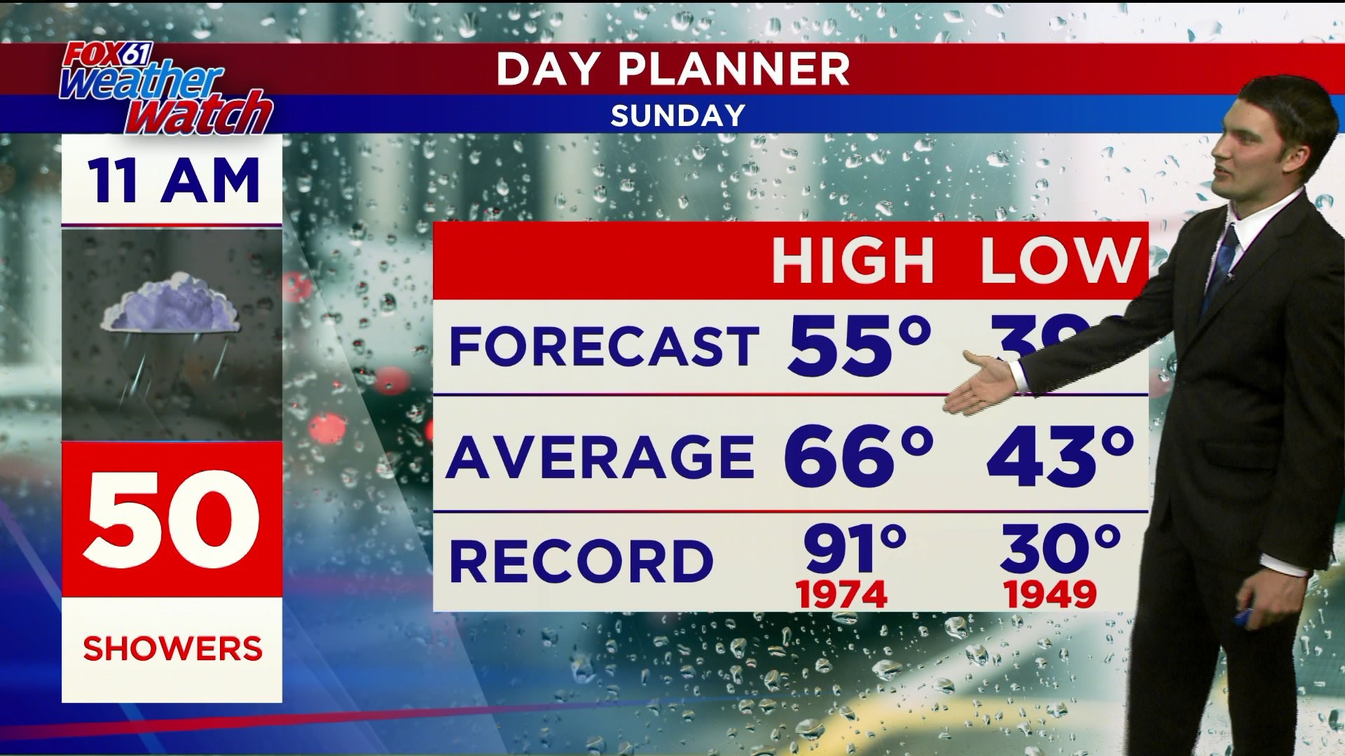
FORECAST DETAILS:
SUNDAY: Mostly Cloudy, cooler, breezy. Chance for a shower. High: mid-upper 50s.
MONDAY: Mostly cloudy, chance for a sprinkle. High: 50s to near 60 degrees.,
TUESDAY: Warming up! Partly cloudy. High: Low 70s. Upper 60s for the shoreline.
WEDNESDAY: Sunny, very warm. High: Near 80. Low 70s shoreline.
THURSDAY: Sunny, summer-feel. High: Low/mid 80’s. Mid 70s shoreline.
FRIDAY: Sunny. High: Mid 80s. Mid 70s shoreline.
Follow our weather team on Facebook!
Dan Amarante, Rachel Frank, Matt Scott, Sam Sampieri, Tim Lavigne, Rachel Piscatelli
Or on Twitter:
Dan Amarante, Rachel Frank, Matt Scott, Sam Sampieri, Tim Lavigne, Rachel Piscatelli